01
Mission planning & decision support
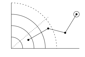
Scientific and simulation models turned into tools operators actually use: scenario planning, geospatial visualisation, coverage and risk analysis.
Proven in: Sonar Coverage Planning for NATO STO CMRE

From live vessel tracking to anti-submarine sensor planning, we build software that helps NATO teams see more, share faster and decide with confidence. We turn high-volume live data, specialist sensor formats and scientific models into tools that operators can trust under pressure.
Scientific and simulation models turned into tools operators actually use: scenario planning, geospatial visualisation, coverage and risk analysis.
Proven in: Sonar Coverage Planning for NATO STO CMRE
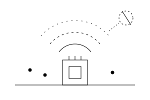
Real-time inference on embedded hardware in vehicles, platforms or field sites. Keeps working without connectivity and syncs when the link returns.
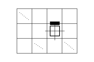
Detection and classification of objects in high-resolution aerial and drone imagery, with confidence scoring that tells analysts what still needs a human eye.
Proven in: AI-Powered Inspection of Critical Energy Infrastructure
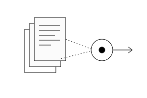
Source-grounded answers from manuals, procedures, technical documentation and lessons learned – with role-based access and safeguards against unsupported answers.
Proven in: AI-Powered Access to Enterprise Knowledge
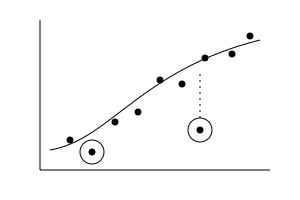
Custom algorithms that combine mathematical methods with ML where labelled data is limited and every result has to be interpretable.
Proven in: Automated Assessment of 3D Human Posture
Technology assessment and working proofs of concept for innovation challenges and capability pilots – fast enough to test an idea, solid enough to grow into a product.
Proven in: our Technology Assessment & Prototyping practice


Collecting and processing various data to translate it into individual user score
Read this case
Distributed system to support maritime missions operating offline at sea, with data exchange.
Read this case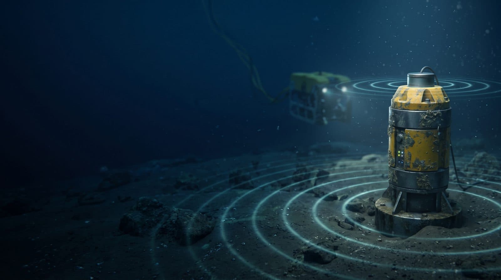
A secure planning tool that turns NATO STO CMRE’s acoustic models into sonar coverage analysis, even offline.
Read this caseOur engineers hold personal security clearances, allowing us to work with classified information and inside restricted environments from day one.
We hold a Declaration of Eligibility, which allows us to bid for NATO international competitive tenders, directly or as part of a consortium.
Our software already supports multinational exercises and defence research, and we work with agencies, integrators and partners across the Alliance.