
Step 1
Detect poles
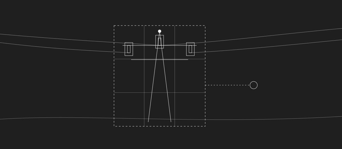
Utility poles are detected in downscaled versions of the original images.
Computer Vision
Deep Learning
Object Detection & Classification
MLOps
Turning aerial photographs into structured, reliable infrastructure records is a complex task.
Documenting energy infrastructure requires identifying individual utility poles and recording their characteristics, including the equipment installed on them. For companies providing infrastructure inspection and inventory services, aerial photography offers a way to collect visual data across power distribution networks.
However, turning these photographs into structured, reliable infrastructure records is a complex task.
Images captured during helicopter flights can reach 100 megapixels in resolution. While this level of detail is valuable for identifying small components, such as insulators, it also makes automated image processing computationally demanding.
Moreover, the same utility pole can appear in several photographs taken from different angles. To create an accurate inventory, the system must not only detect and classify objects but also associate observations from different images with the same physical assets.
We partnered with a company specializing in infrastructure inspection and inventory services to develop an AI-powered system capable of automating this process.
Our responsibility covered the solution’s design, implementation, model training, and deployment within the client’s infrastructure.
The central challenge was to extract detailed information about utility poles and their equipment from extremely high-resolution aerial images without losing the visual detail needed for accurate detection.
Processing entire 100-megapixel photographs at their original resolution would be computationally expensive. Simply reducing their size, on the other hand, could make smaller infrastructure components difficult to recognize.
We therefore designed a multi-stage approach that separates the detection of utility poles from the identification of their equipment.
Another challenge was connecting visual observations with actual infrastructure assets.
The client provided geospatial data containing pole locations. The system needed to use this information to determine which photographs might contain a particular pole and associate detected objects with the correct asset.
Since individual poles could be photographed from both the front and the back, we also needed a way to combine detections from different perspectives while avoiding duplicate or inconsistent records.
Finally, the system had to support processing entire sets of photographs from helicopter flights, operate within the client’s private infrastructure, and allow machine learning models to be updated as new training data becomes available.
We built a computer vision pipeline that processes aerial photographs in several stages.
First, the system detects utility poles in downscaled versions of the original images. Once a pole is located, the corresponding region is extracted from the full-resolution photograph.
Instead of reducing the resolution of this extracted region, the system divides it into smaller tiles. Equipment detection models then analyze each tile using the original image detail.
This approach makes it possible to detect relatively small components while avoiding the computational cost of processing entire 100-megapixel images at full resolution.
To improve detection around tile boundaries, the pipeline performs additional analysis when objects appear close to the edges of individual tiles. All detections are then mapped back to their positions in the original image.
The detected poles and equipment are subsequently classified using dedicated deep learning models. The solution uses YOLOX-based object detection and ResNet50-based classification models, including multi-head architectures for selected tasks.
Utility poles are detected in downscaled versions of the original images.

The region around each pole is extracted from the full-resolution photograph.

The region is divided into tiles, and equipment detection uses the original image detail.

Objects near tile edges get additional analysis; all detections are mapped back to the original image.

Poles and equipment are classified by dedicated deep learning models.
Detecting objects in individual photographs is only one part of creating a reliable infrastructure inventory.
The system also needs to establish which detections correspond to the same physical assets.
We implemented algorithms that use geospatial metadata to identify photographs potentially containing a given utility pole and associate visual detections with its known location.
The pipeline then combines observations from front and rear views of the same pole, determining which detected components may represent the same physical object.
Additional rule-based filtering incorporates knowledge about the structure of power line infrastructure. For example, the expected position of an insulator relative to the top of a pole can help identify implausible detections.
Together, these mechanisms enable the system to consolidate information from multiple photographs into a single inventory record for each pole.
Not every detection can be treated as equally reliable, particularly when objects are partially obscured or visible from different perspectives.
To address this, we developed an automatic quality assessment mechanism that evaluates the reliability of the generated inventory results.
The assessment considers the confidence scores of individual detections and the consistency of observations obtained from different photographs of the same pole.
Based on these factors, the system can identify results suitable for automatic acceptance and those that should be reviewed manually.
This creates a workflow in which human verification can be focused on cases that do not meet the required reliability threshold.
The system was designed as a modular architecture, with individual machine learning models running as separate microservices and an orchestration service coordinating the processing pipeline.
We also implemented automated workflows for model training, validation, packaging, and deployment.
Each model is independently versioned, while the orchestration service defines which model versions should operate together. This enables consistent deployments and straightforward rollback to earlier configurations.
The solution uses containerization and GitLab CI/CD pipelines to maintain traceability between model training runs and deployed artifacts.
Because the system processes very large image files, its architecture was designed to minimize unnecessary data transfers between components.
Both training and inference use NVIDIA L40 GPUs, and all inference takes place within the client’s private infrastructure. No image data needs to leave the environment, and the system can operate without an internet connection.
~60%
of utility poles could meet the reliability threshold for automatic acceptance
Initial analysis on a dedicated validation dataset.
The resulting system has been implemented and deployed within the client’s infrastructure, providing an automated pipeline for detecting, classifying, and documenting medium-voltage power line assets from aerial imagery.
The solution combines high-resolution image analysis, geospatial matching, multi-view detection, and automatic quality assessment into a single processing workflow.
An initial analysis on a dedicated validation dataset suggests that approximately 60% of utility poles could meet the reliability threshold required for automatic acceptance without manual verification.
The system also provides the technical foundation for repeatable processing of aerial image datasets and controlled updates to machine learning models, while keeping all inference within the client’s own infrastructure.